
Deltona ZIP Coverage at a Glance
Deltona is chiefly served by two standard delivery areas. A small incorporated edge also carries an Osteen mailing identity. The table gives broad orientation, not a legal boundary. Western Deltona reaches the Orange City and Interstate 4 side; eastern Deltona extends toward Lake Monroe and Osteen. A parcel search is still needed for the exact city line.
| ZIP Code | Areas Covered | Post Office | Notes |
|---|---|---|---|
| 32725 | Western and southwestern Deltona, toward I-4 and Orange City | Deltona delivery | Standard ZIP; verify parcel jurisdiction |
| 32738 | Eastern and northeastern Deltona, toward Lake Monroe and Osteen | Deltona delivery | Broad suburban and rural edge |
| 32764 | Limited eastern and southeastern city-edge segments | Osteen postal identity | Some segments register as Deltona |
The official election street list documents the limited 32764 overlap. It does not justify labeling all of that ZIP as Deltona. The research also did not establish 32739 as Deltona-serving, so it should not enter a local result without address-specific official proof. The directory stays with verified geography.
Verify a Deltona Mailing ZIP
Use the USPS ZIP Code Lookup to verify the postal city and ZIP for a full street address. Postal output answers a delivery question. Next, use the Volusia Property Appraiser parcel record or government GIS to answer whether the land lies in Deltona. The two answers can differ without either system being wrong.
The USPS screen below is the correct first stop when a handwritten address, old notice, or mailing label has an uncertain ZIP.
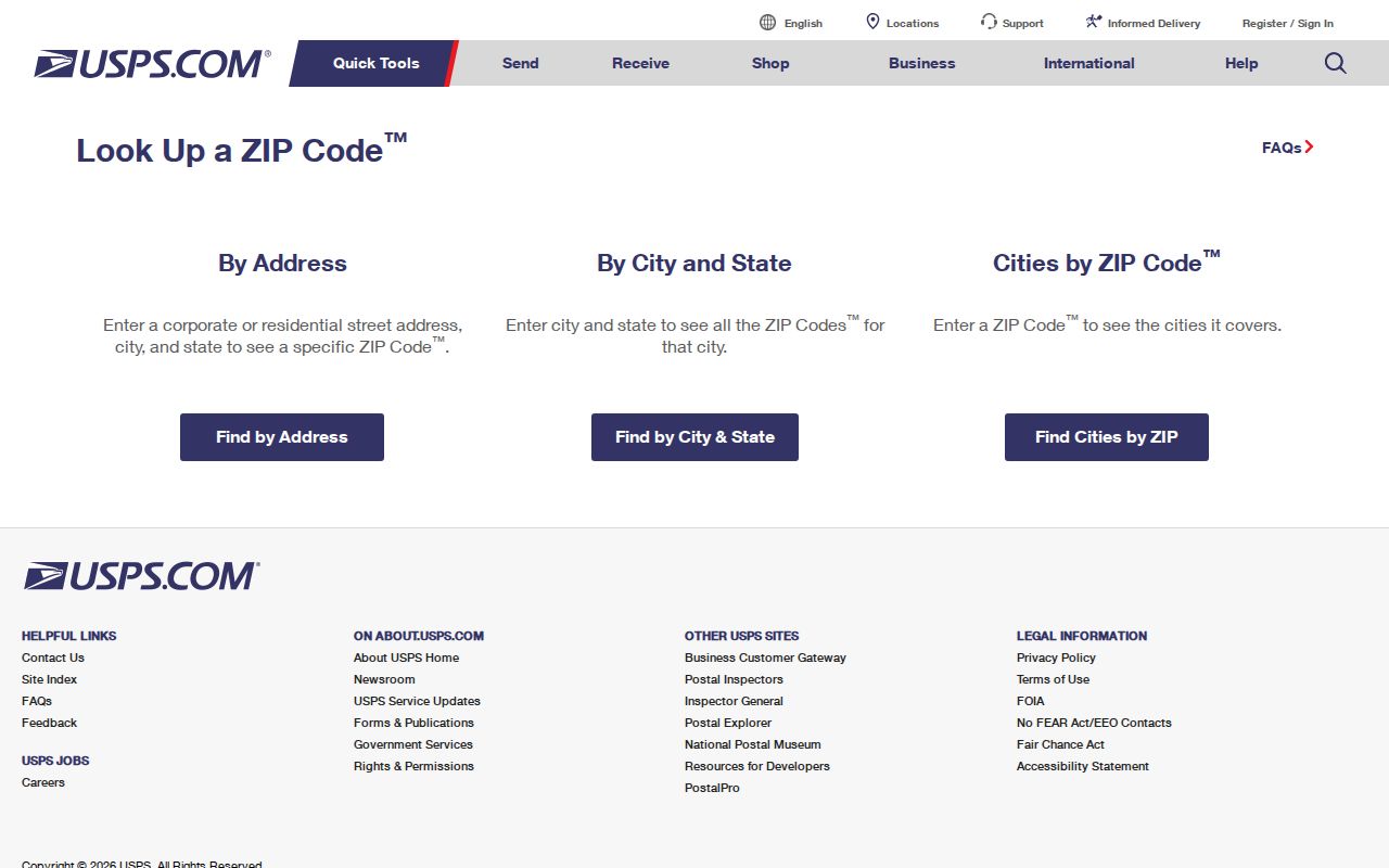
Carry the standardized street spelling into the parcel search. This reduces misses caused by direction, suffix, unit, or mailing-city differences. It also stops a broad postal result from being mistaken for proof of city jurisdiction.
Search Deltona Property by ZIP
The VCPA Classic Real Property Search includes ZIP as a direct field. Pair it with a street, subdivision, property class, or land-grid field when a ZIP-wide set is too broad. Results list alternate key, short parcel, owner name, site address, city, and property class. Selected rows may be viewed or exported to Excel or a mailing list.
| Search field | Expected entry | Local use |
|---|---|---|
| ZIP | Five-digit postal code | Creates a delivery-area slice |
| Street number/name/suffix | Address parts | Limits results to a road |
| Owner name | LastName FirstName | Finds an owner within the ZIP |
| Subdivision/block/lot | Recorded plat terms | Checks identity across postal labels |
| Property class | Class filter | Separates parcel types |
The site address identifies the land. The mailing address says where the tax notice goes. Do not merge them. A different mailing ZIP may belong to an owner, trust, agent, or post office box. For municipal status, open the detailed parcel card and map.
Find Deltona Residents by ZIP
Official ZIP-keyed research works best as a funnel. The property roll gives owners and parcel sites. Volusia Elections offers a separate written data-order route with ZIP and household sorting. The statewide voter-status form is authenticated self-service, not a directory. Keep those channels distinct.
- Verify the complete address and mailing ZIP with USPS when one address is known.
- Enter the ZIP in VCPA Classic. Add a street, subdivision, or owner if the set is too broad.
- Open selected cards and compare site, mailing, legal description, parcel key, and jurisdiction.
- For voter data, ask Volusia Elections for the narrow lawful geography and ZIP sort needed.
- Move to the Deltona street directory once the question becomes street-level.
A property owner is not a full household list. The voter roll also omits nonregistered people and protected addresses. Compare only the fields relevant to the inquiry. Keep uncertainty visible when the official sources do not agree.
Order Deltona Voters by ZIP
Volusia Elections' August 2025 voter-data form is the official alternative to turning the state self-lookup into a ZIP directory. It offers USB, email, web services, and maps. Geography choices include countywide, districts, municipality or zone, precinct, and other political areas. Voter selection can be active, all eligible, or the form's defined frequent-voter group.
Sorts include alphabetical name, name by precinct, household residence address, residence address by precinct, ZIP, and one record per registered-voter household. Party may be set to all. Payment is due on release, and no fixed fee was established in the research. Ask Elections for current cost and format. Requests may use NextRequest, email, phone, mail, or the DeLand office.
The Florida voter-status screen shows the separate authenticated channel.
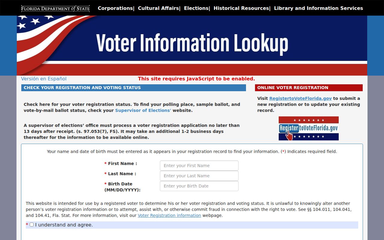
Its exact name, birth date, agreement, and CAPTCHA fields show why a public ZIP extract belongs with Volusia Elections.
Deltona's Osteen ZIP Overlap
The clearest local boundary oddity sits along limited eastern and southeastern municipal-edge segments near State Road 415 and Spreading Oak. Deltona's official election street listing can show Register City Deltona while Mail City is Osteen and the ZIP is 32764. Postal identity and municipal registration can diverge on a specific segment.
The list includes precinct split, street name, house-number range, register city, mail city, ward, ZIP code, voter count, and district fields. Use the house range to test whether an address falls in a documented segment. It provides counts, not resident names. Confirm the parcel in VCPA and its jurisdiction on a government map.
Boundary rule. A Deltona mailing name does not prove incorporation, and an Osteen mailing name does not always place land outside Deltona.
Deltona Postal Stations and ZIPs
A post-office page confirms a station and the services USPS publishes, but it does not draw the delivery boundary or city line. Use it for the official station identity and current service information. Use address lookup for the code assigned to one location, then parcel GIS for incorporation.
The USPS Deltona post-office listing is captured below.
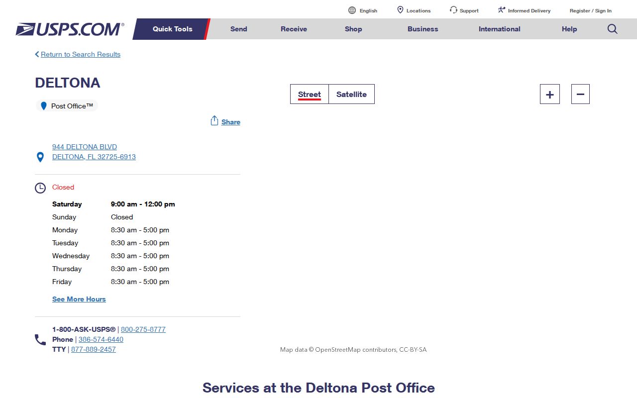
The station record supports postal service details. It should not assign every nearby parcel to one Deltona ZIP code.
Note: Postal facilities and delivery routes can change, so verify a current address with USPS before ordering a ZIP-sorted public record.
Read Deltona ZIP Geography Locally
Deltona's planned-community history helps explain why broad postal directions are more useful than informal neighborhood names. The Mackle Brothers and General Development Corporation launched Deltona in 1962, while the city incorporated in 1995. County plats, deeds, and tax parcels can therefore predate the city government by decades. Older records may use Osteen, Orange City, Sanford-area, or broader Volusia labels even when the modern parcel is associated with Deltona.
Providence, Saxon, Enterprise, and the Interstate 4 side orient western and central searches. Howland, Fort Smith, and Elkcam point toward the eastern and northeastern side. These are corridors, not official resident districts. Curving subdivision streets also make a casual map glance unreliable. Use subdivision, lot and block, alternate key, and site address to decide which parcel a ZIP code result actually describes.
Deltona's fire-station list supplies official municipal addresses in both principal delivery areas, but even that list should not be stretched into a boundary source. For older material, preserve the postal wording exactly as recorded and search local newspaper databases under the nearby place variants. A different place label may reflect the record system's date and geography rather than a different piece of land.
Deltona ZIPs Versus City Limits
A ZIP code is a USPS delivery tool, not a municipal boundary. The Deltona ZIP code directory cannot decide which government keeps a permit, code case, or administrative record. Verify the mailing address with USPS, then use the parcel card and government GIS to identify Deltona or unincorporated jurisdiction. Apply the same care near Orange City, Osteen, and Lake Monroe.
- ZIP and ZIP+4
- The five digits cover a broad area; four added digits narrow delivery to a smaller segment.
- PO-box ZIP
- A code assigned for post-office-box delivery instead of a normal street area.
- Unique ZIP
- A code assigned to one high-volume organization rather than a neighborhood.
- Carrier route
- A Postal Service delivery path that can cross boundaries people assume are local.
Legal descriptions are the stable bridge when address form or postal label changes. Keep the lot, block, subdivision, parcel key, and deed reference with any result. They allow the same Deltona land to be matched even when the displayed city name differs.